How to calculate the normalized difference vegetation index (NDVI) using Landsat image in ArcGIS
236 بار بازدید -
پارسال
-
This video will help you
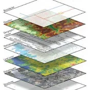
This video will help you to learn how to extract and preprocess Landsat imagery, calculate NDVI values and visualize the result using ArcGIS.
#gis #remotesensing #geospatial #drought
#gis #remotesensing #geospatial #drought
پارسال
در تاریخ 1402/03/19 منتشر شده
است.
236
بـار بازدید شده